Other name for Whitehorn Mountain
53.1333 N 119.25 W Google — GeoHack
Not currently an official name.
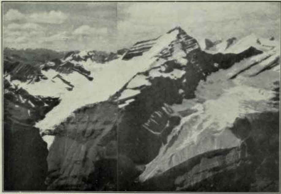
Mt. Turner from 12,000 ft. on Mt. Robson. Looking across the Valley of a Thousand Falls. Rev. G. B. Kinney, Photo. 1909. Canadian Alpine Journal 1910
Dr. A. P. Coleman, Geologist of the University of Toronto organized an expedition in 1907 to capture Mt. Robson. The party consisted of the Doctor and his brother, L. Q. Coleman, myself and a helper. The four of us, with our pack-train of ten horses and outfit, left Laggan, August 2nd, 1907. We followed the Pipestone, Siffleur, Saskatchewan and Athabasca Rivers; crossing the Pipestone and Wilcox Passes. For weeks we made our own trails through the wilds, and forced our way, through hundreds of miles of tangled underwood. We rested our weary limbs by many a beautiful lake and babbling brooklet, while our camp-fires lit the dark shadows of ravine and cliff. Rafting our stuff over the mighty Athabaska, across which we had to swim our horses, we hurried over the Yellowhead Pass, and swung down the Fraser. But our trip that year left Mt. Robson still unconquered, though we explored its western side, and I discovered Mt. Turner and “The Valley of a Thousand Falls.”
— Kinney 1910
George R. B. Kinney [1872–1961] does not mention which Turner he was referring to; possibly the English landscape painter J. M. W. Turner. Coleman’s 1910 map of Mount Robson refers to the mountain as “White Horn Mt.”
- Kinney, George Rex Boyer [1872–1961], and Phillips, Donald “Curly” [1884–1938]. “To the top of Mount Robson.” Canadian Alpine Journal, Vol. 2, No. 2 (1910):21-44, p. 32. Alpine Club of Canada [accessed 2 April 2025]