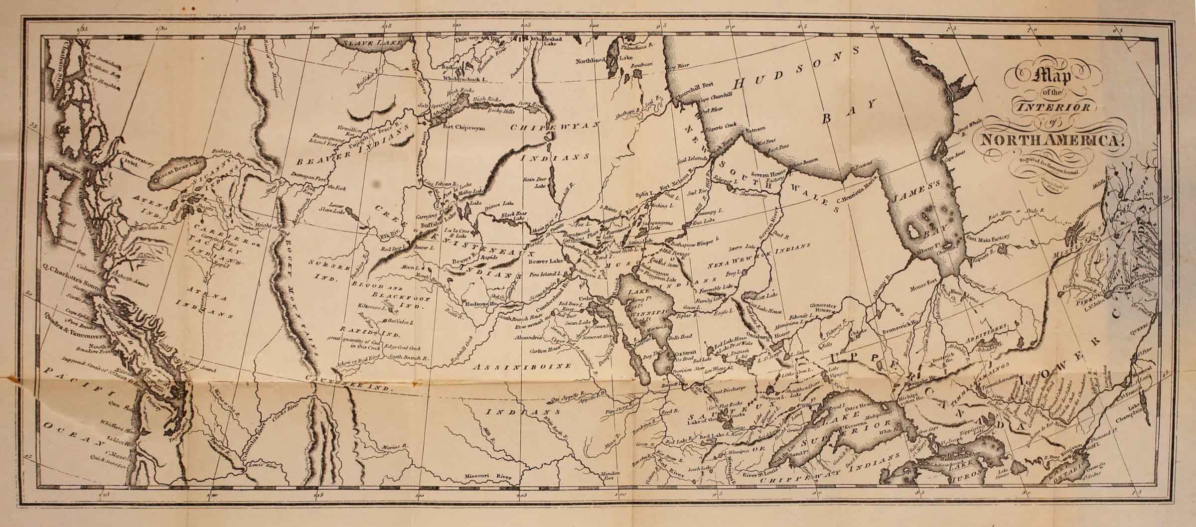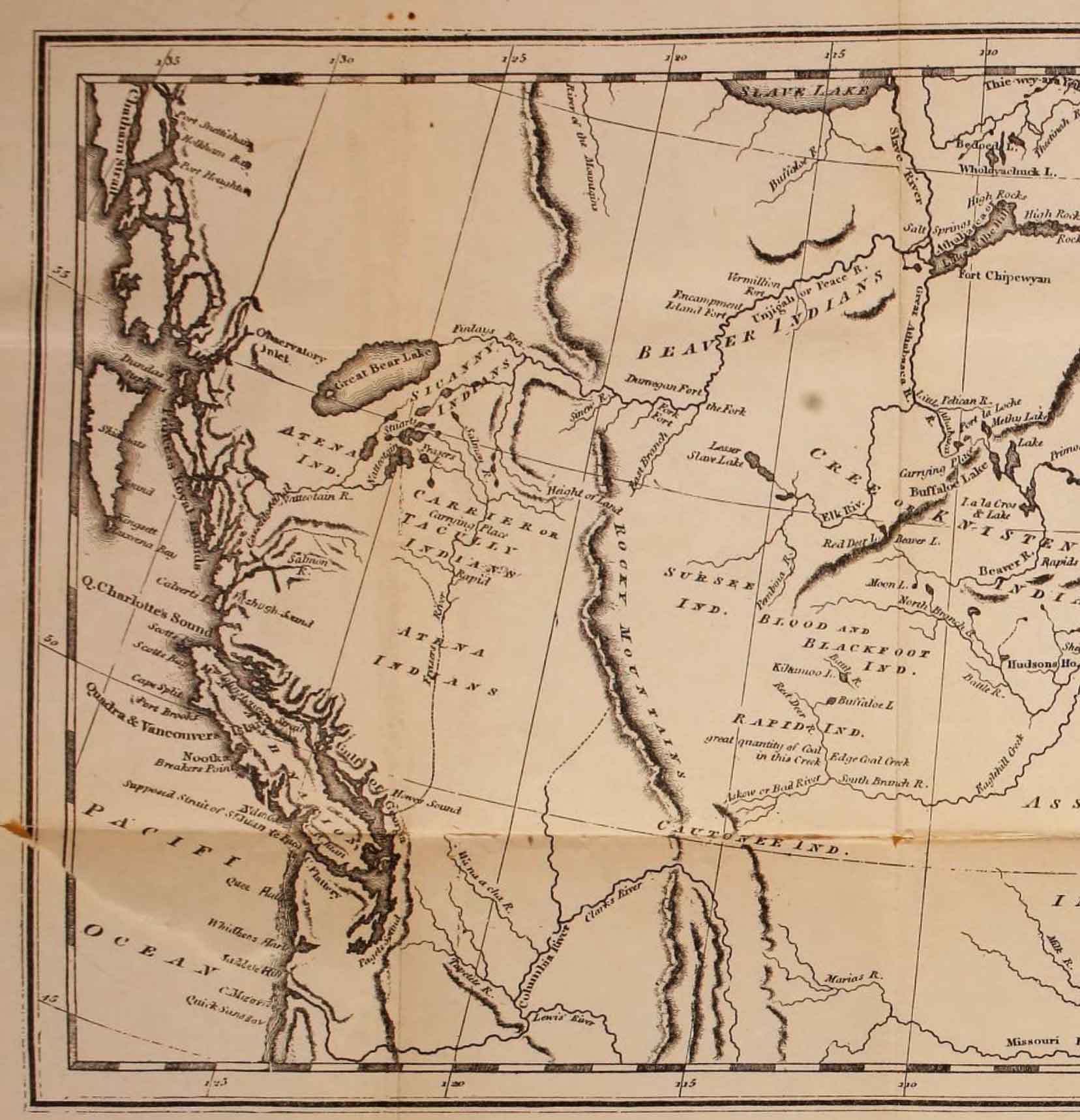
Map of the interior of North America, engraved for Harmon’s Journal Internet Archive
Daniel Williams Harmon [1778–1843] was a fur trader and diarist. Harmon was born in Bennington, Vermont, and died in Sault-au-Récollet (Montreal North), Lower Canada. He joined the North West Company in 1800 and gradually moved westward. He took as a common-law wife Elizabeth (Lizzette) Laval or Duval (ca. 1790 – 1862) in 1805, at South Branch House on the South Saskatchewan River. They legally married in 1819, at Fort William, Ontario, and had 12 children.
Harmon arrived in New Caledonia in 1809. There he served for ten years at Fort Saint James and Fort Fraser.
The map seems largely based on Mackenzie’s map North America 1803.
This map includes:
Finlay River
Fraser River
Unjigah River [as “Unjigah or Peace R.”]
Tribes
Atena Indians
Beaver Indians
Finlay River
Fraser River
Unjigah River [as “Unjigah or Peace R.”]
Tribes
Atena Indians
Beaver Indians
References:
- Harmon, Daniel Williams [1778–1843]. A Journal of Voyages and Travels in the interior of North America between the 47th and 58th degree of North latitude, extending from Montreal nearly to the Pacific Ocean, a distance of about 5000 miles, including an account of the Principal occurrences during a residence of nearly nineteen years in different parts of that country. To which are added A Concise Description of the face of the Country, Its Inhabitants, their manners, customs, laws, etc.. Burlington, Vermont: 1820, endpocket. Internet Archive
