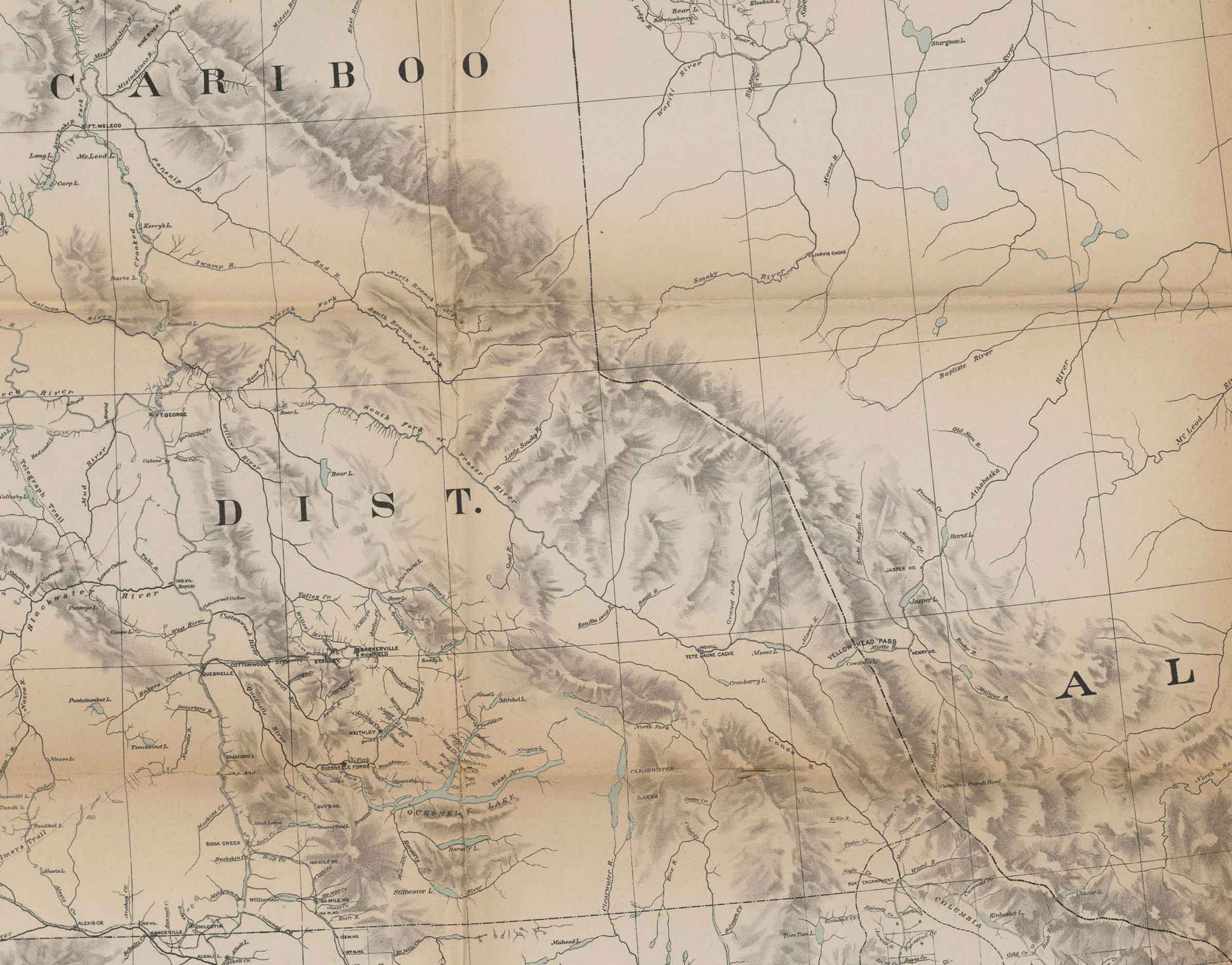
Alberta-BC boundary. Proposed name
SW of Moose Pass
53.2333 N 119.0167 W — Map 83E/3 — Google — GeoHack
Earliest known reference to this name is 1911 (Walcott)
Not currently an official name.
SW of Moose Pass
53.2333 N 119.0167 W — Map 83E/3 — Google — GeoHack
Earliest known reference to this name is 1911 (Walcott)
Not currently an official name.
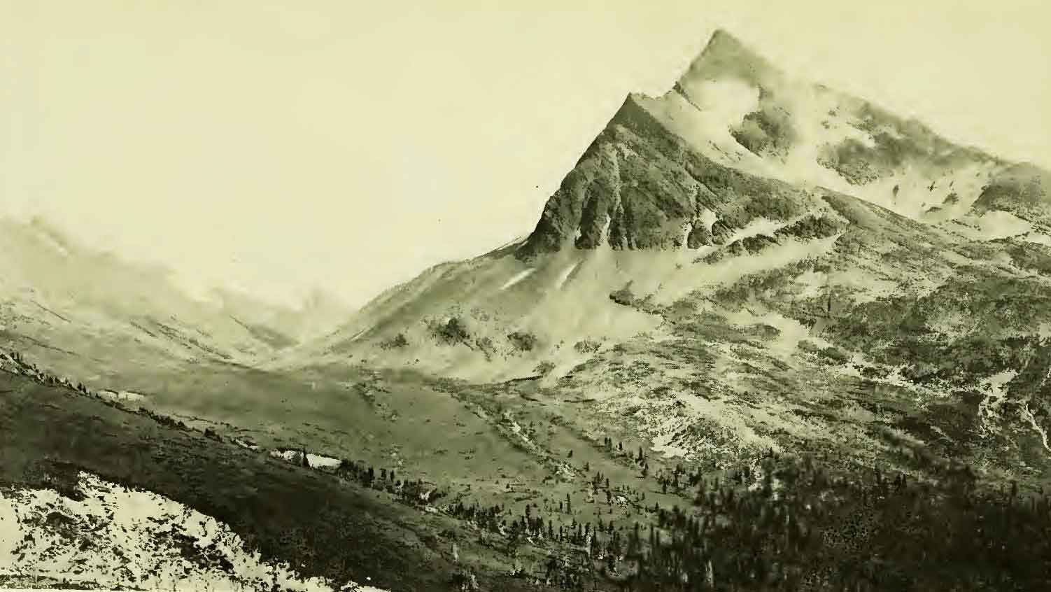
Near view of Tah Peak rising above Moose Pass. On the left Tokana Mountain.
Photograph by R. C. W. Lett. Grand Trunk Pacific Railway, 1912. (Walcott p 332)
Among the new placenames that Charles Doolittle Walcott [1850–1927] suggested during the 1912 Smithsonian expedition to the Mount Robson area was “Tah (moose) Mountain” (8,817 feet), a peak southwest side of Moose Pass.” Walcott considered Tah to be an “Indian name” for moose
In the photo it’s identified as “Tau Peak,” and Walcott also refers to “Tau Pass.”
The mountain does not have an official name.
Also see
References:
- Walcott, Charles Doolittle [1850–1927]. “Cambrian Formations of the Robson Peak District, British Columbia and Alberta, Canada.” Smithsonian Miscellaneous Collections, Vol. 57, No. 12 (1913):328-343. Smithsonian Institution Archives [accessed 11 April 2025]
![Harry H. Blagden and Sidney S. Walcott, skinning ptarmigan at Tah Pass Camp, 1910. [Photo probably by R. C. W. Lett]](/wp-content/uploads/2025/04/blagden-sswalcott-1912.jpg)