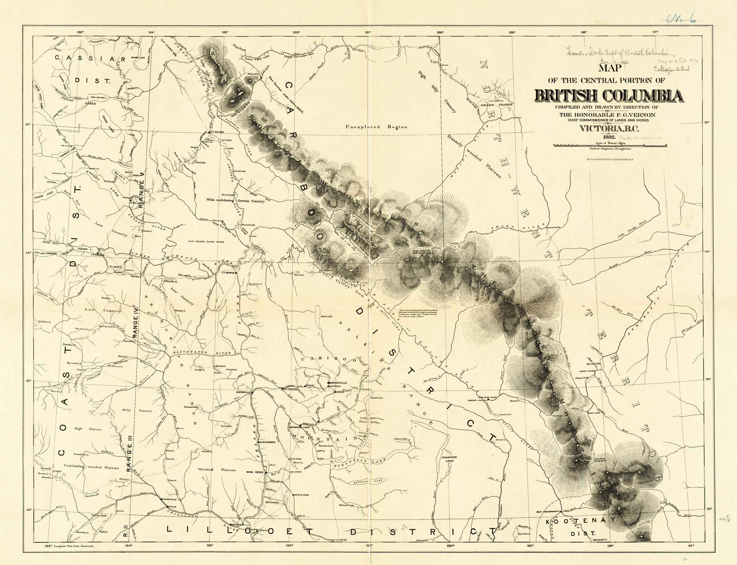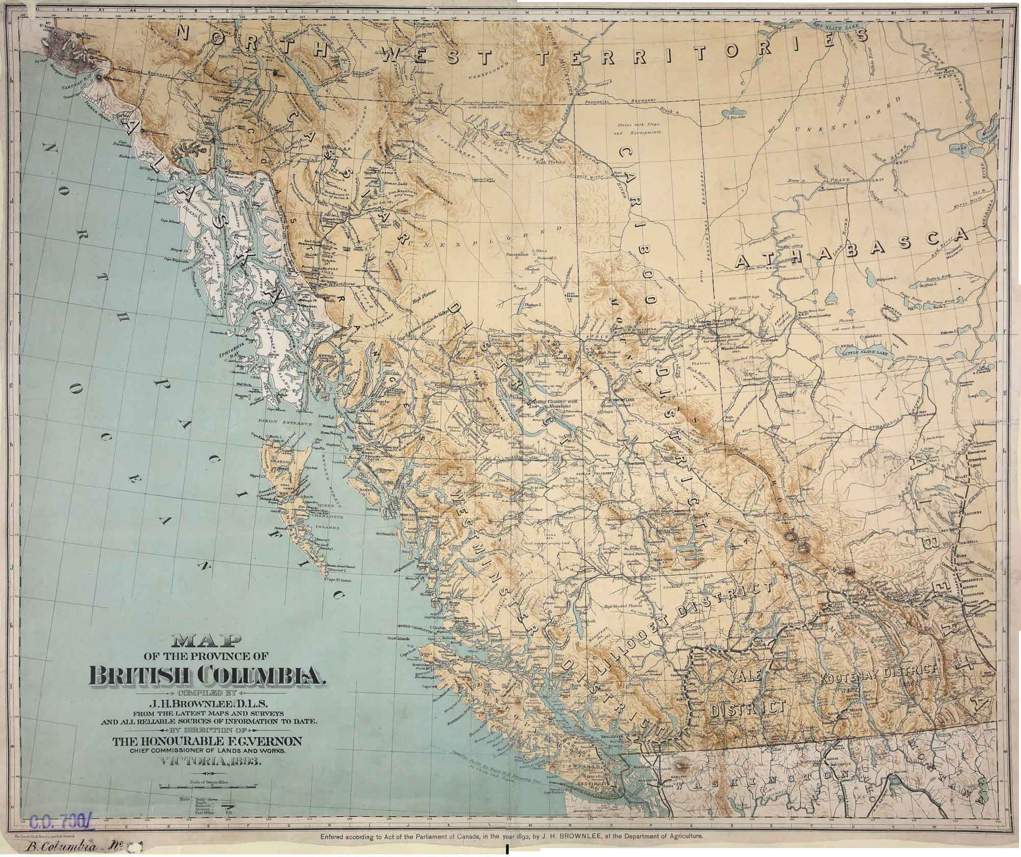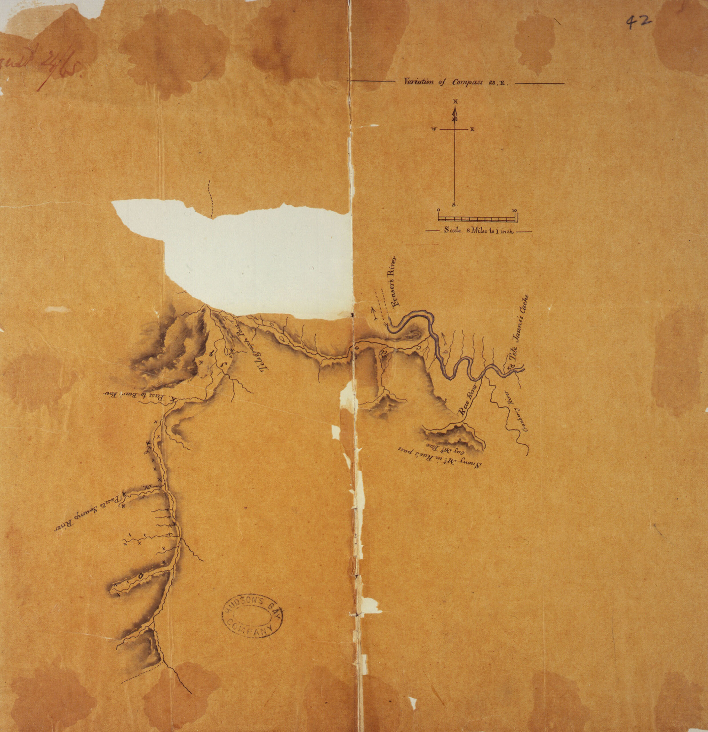
Map of the Privince of British Columbia, 1895. (Detail) Internet Archive [accessed 16 April 2025]
Map of the Province of British Columbia
Compiled by direction of the Honourable G. B. Martin,
Chief Commissioner of Lands and Works, Victoria, B.C.
Compiled and drawn in the Department of Lands and Works
by Gotfred Jörgensen C.E. 1895
Gotfred Emil Jörgensen (flourished c. 1890–1910) was a Danish-American civil engineer active in British Columbia, Canada, and Washington State in the late 19th and early 20h centuries. Jörgensen is elusive, and there is no record of his birth in Denmark or his relocation to the Pacific Northwest. He lived for a time in Seattle, where he appears in the 1891 directory as a Civil Engineer, but most of his work was done for the British Columbia Department of Lands and Works. In his earliest maps, he appears as a “draughtsman,” by 1891 he is listed as a “civil engineer,” and by 1909 he is the “Survey General of British Columbia.” It is possible he returned to Denmark in the early 20th century. He is most admired for his large-scale maps of Victoria City and British Columbia.
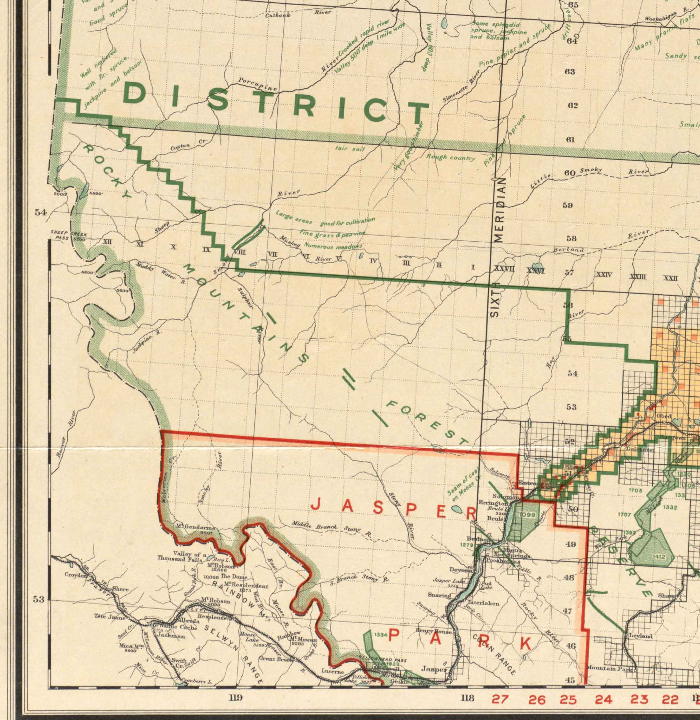
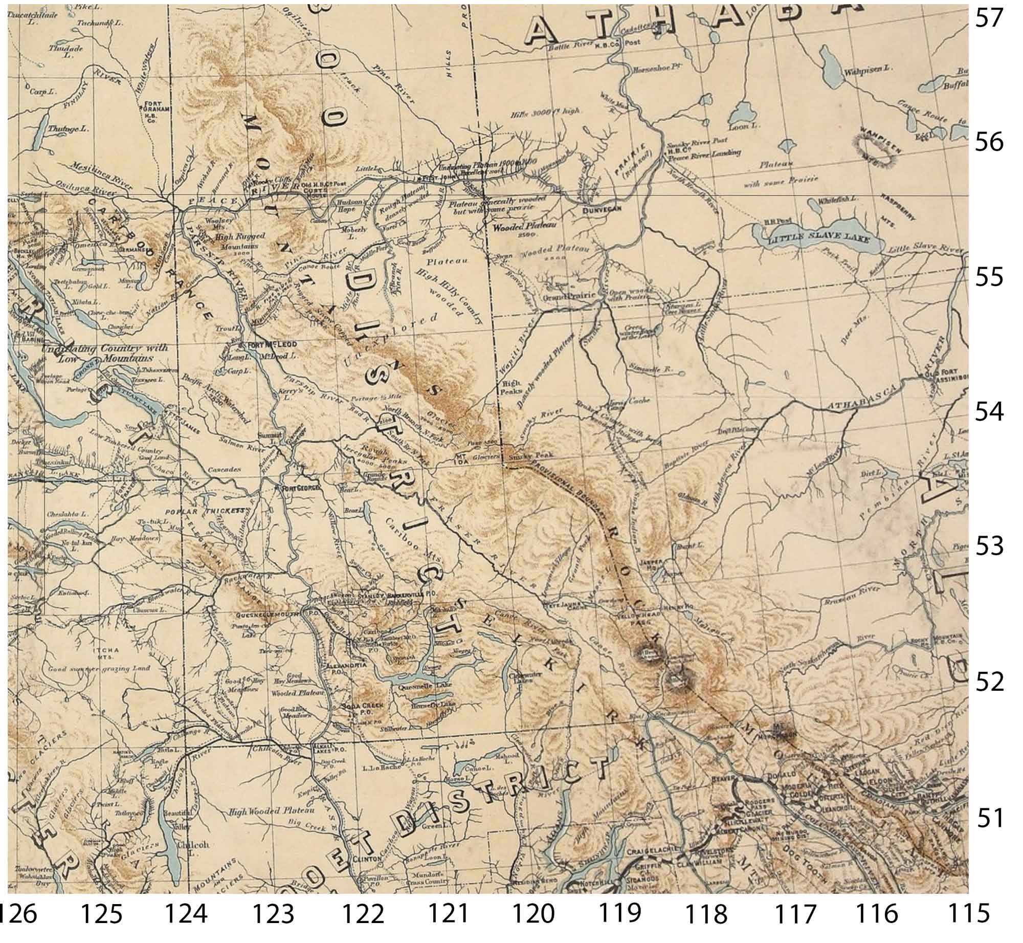
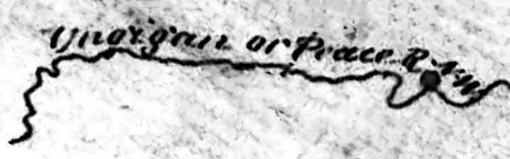
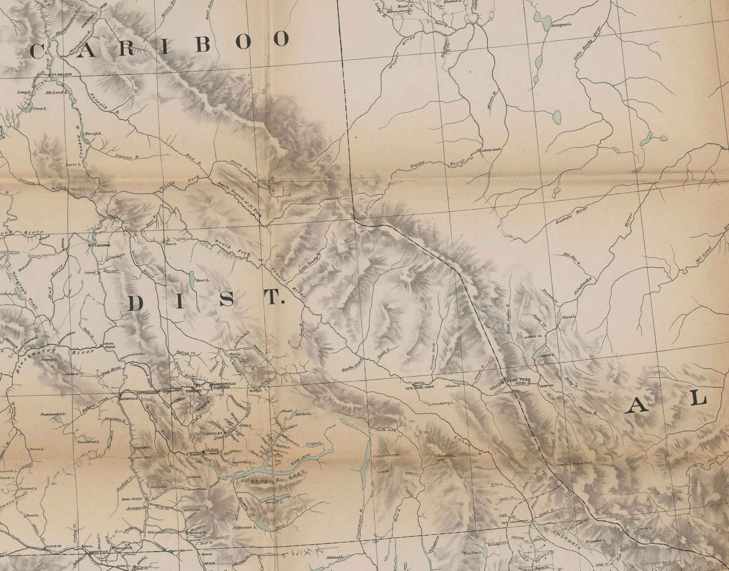
Athabasca River
Bad River (James Creek)
Baker Creek (Canoe)
Bear River
Boat Encampment
Brûlé Lake [as “Burnt L.”]
Bush River
Canoe River
Committee Punch Bowl
Columbia River
Cowdung Lake
Cranberry Lake
Dawson Creek
Foster Creek
Goat River
Grand Forks River
Henry House
Jasper Lake
Jasper House
Kinbasket Lake
Little Smoky River (Athabasca0
Little Smoky River (Morkill)
Maligne River
Miette River
Moose River
Moose Lake
Fraser River North Fork
North Branch of North Fork Fraser River
North Thompson River [as “North Fork”]
Parsnip River
Rau’ Shuswap [as “Rau Shuswap R.”]
Small Creek [as “Small River”]
Smoky River
Snake Indian River
South Branch of North Fork Fraser River
South Fork Fraser River
Tête Jaune Cache [note: “IND. VILL”]
Wapiti River
Whirlpool River
Willow River
Wood River
Yellowhead Pass
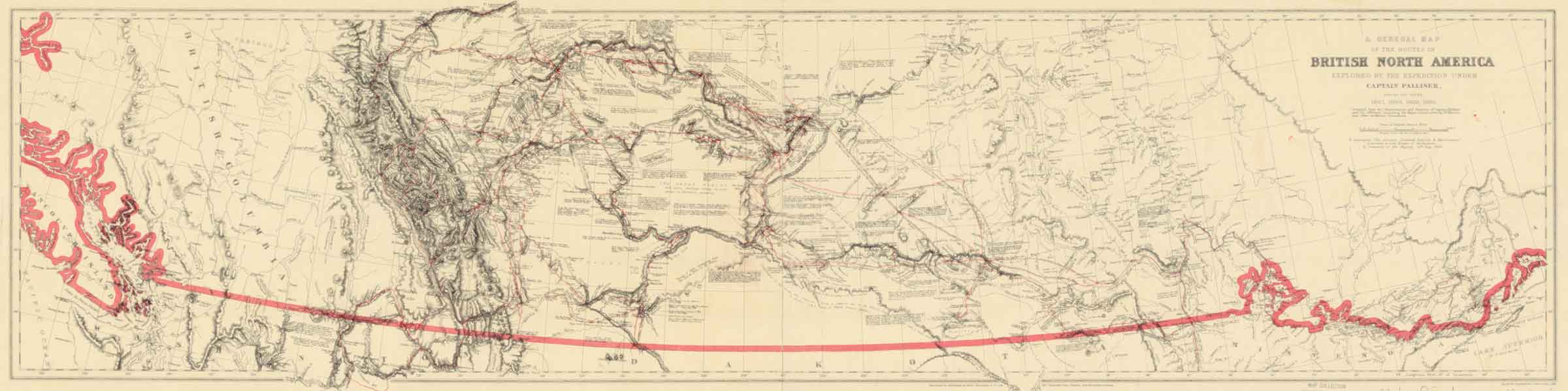
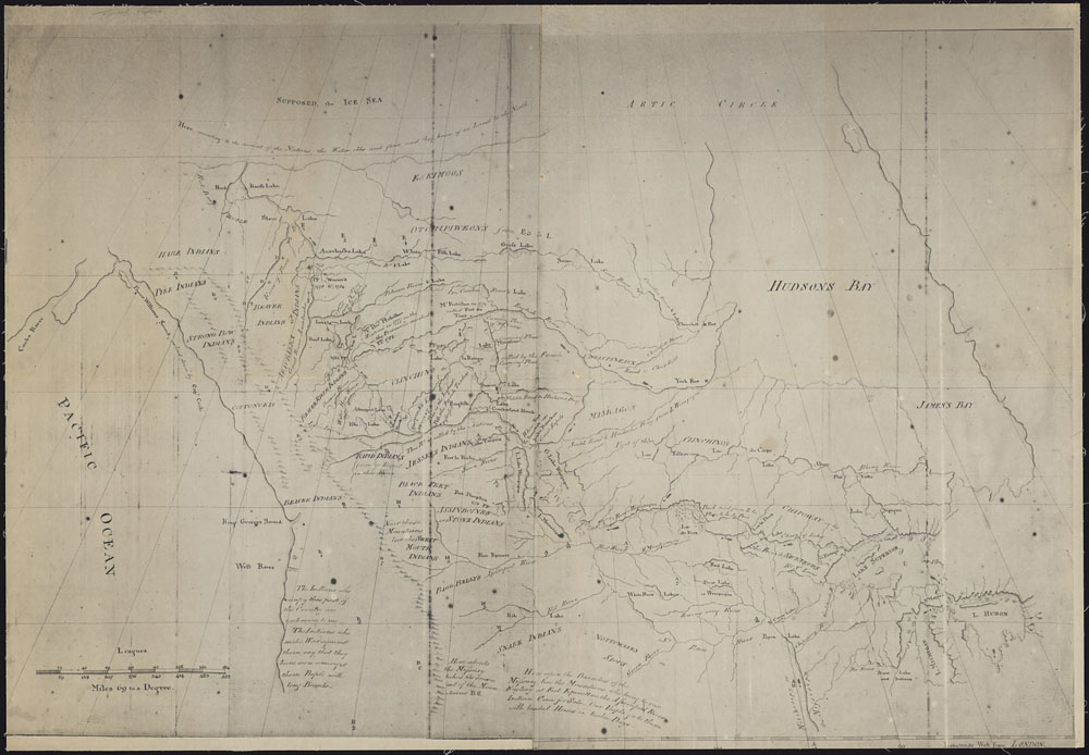
![Palliiser’s routes [detail]](/wp-content/uploads/2025/02/pallliser-detail.jpg)
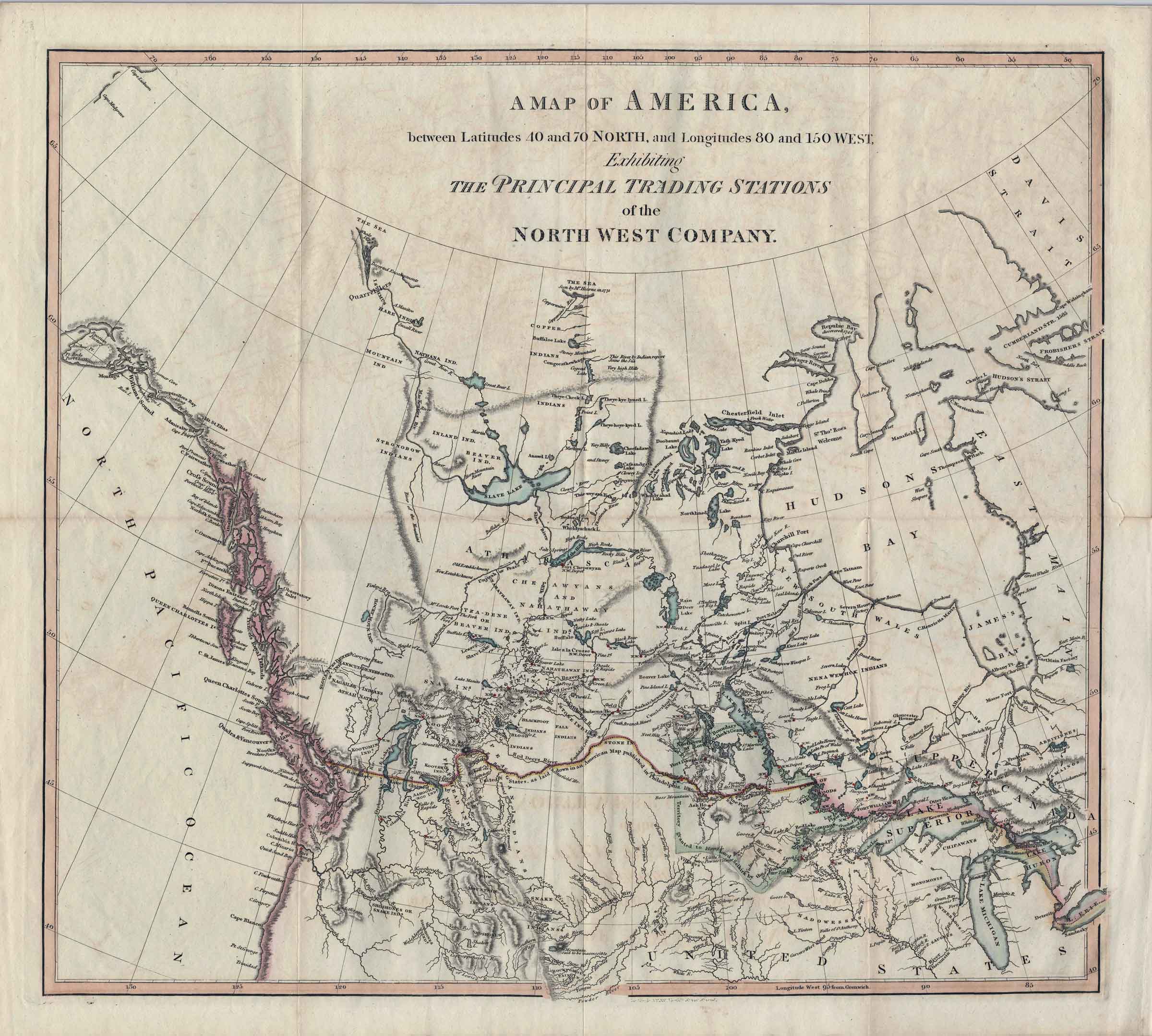
![A map exhibiting the principal trading stations of the North-West Company. 1817 [detail]](/wp-content/uploads/2025/01/1817-McGillivray-Notice-detail.jpg)