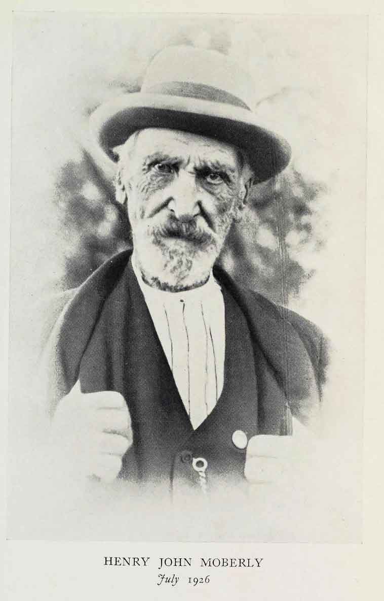
Henry John Moberly, July 1926. “When Fur Was King,” frontispiece
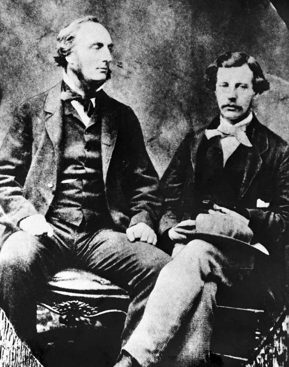
Henry John Moberly [1835–1932], after whom these flats were named in 1859 by
James Hector [1834–1907], was born in Penetanguishene, Upper Canada.
Moberly entered the service of the Hudson’s Bay Company [founded 1670] in 1854 as a clerk. He served as Chief Factor of the once-abandoned Jasper House post from 1855 to 1861. Moberly set out for Jasper from Edmonton in the fall of 1858. He was guided by Andre Cardinal and six young Iroquois who handled 40 head of horses. Moberly developed an excellent relationship with the Iroquois who lived in the Smoky River and Kakwa River valleys. He spent much of his time hunting as far afield as the present-day town of Grande Cache.
Moberly married Suzanne Kwarakwante (Cardinal) who was the daughter of Louis Kwarakwante, an Iroquois and freeman from the fur trade. The couple had two sons by the names of Ewan, b. 1860, and John, b. 1861. Although Henry and Suzanne were officially married at Lac Ste. Anne in 1861, Moberly left her for another position, and she evidently returned to Jasper to live. Suzanne raised her sons in the Athabasca Valley. She died in 1905 and was buried on her son Ewan’s farm near the present town of Jasper.
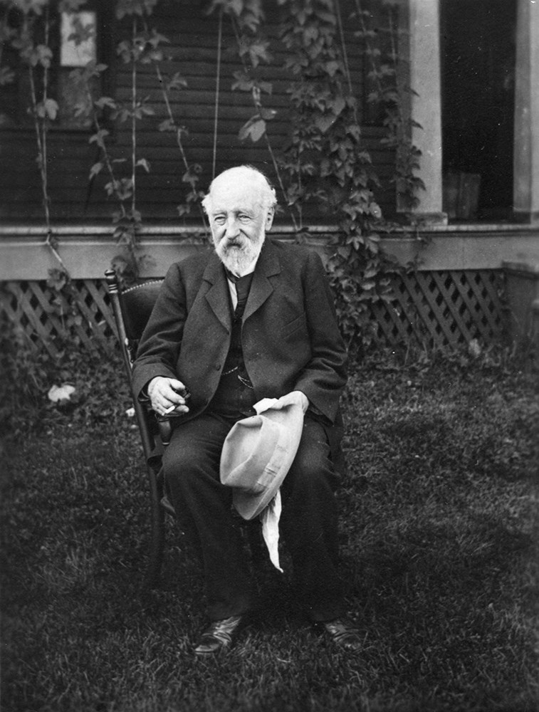
He served the HBC until 1894 when, as a factor, he retired and settled in Saskatchewan. Moberly had intervals when he was a free trader. His biography, entitled When Fur Was King (1929) is an amalgamation of several articles about life in the fur trade that he wrote for The Beaver, a magazine founded in 1920 by the HBC.
Moberly’s Métis offspring John, Ewan, and grandsons Adolphus [1887–] and William (Bill) were four of the seven families that were affected by the creation of the “Jasper Forest Park.” An Order in Council was passed in September 1907 by the Canadian Federal Government to create this national park. This secretly passed legislation had long lasting implications for the seven Métis families because the Canadian Government did not want to have privately-owned land within the national park boundaries.
References:
- Moberly, Henry John [1835–1931], and Cameron, William Bleasdell, collaborator. When Fur was King. New York: Dutton, 1929. University of British Columbia Library [accessed 25 February 2025]
- Karamitsanis, Aphrodite [1961–]. Place names of Alberta. Volume 1: Mountains, Mountain Parks and Foothills. Calgary: University of Calgary Press, 1991. Internet Archive [accessed 25 February 2025]
- Anon. Henry John Moberly. 2020. Mountain Métis [accessed 10 March 2025]