Alberta-BC boundary. Mount
Fraser River and Smoky River drainages
Near headwaters of Renshaw and Beaverdam creeks
53.535 N 119.8989 W — Map 083E12 — Google — GeoHack
Earliest known reference to this name is 1925
Name officially adopted in 1925
Official in BC – Canada
Fraser River and Smoky River drainages
Near headwaters of Renshaw and Beaverdam creeks
53.535 N 119.8989 W — Map 083E12 — Google — GeoHack
Earliest known reference to this name is 1925
Name officially adopted in 1925
Official in BC – Canada
This mount appears on:
Boundary Commission Sheet 35 (surveyed in 1923)
Boundary Commission Sheet 36 (surveyed in 1923)
Boundary Commission Sheet 35 (surveyed in 1923)
Boundary Commission Sheet 36 (surveyed in 1923)
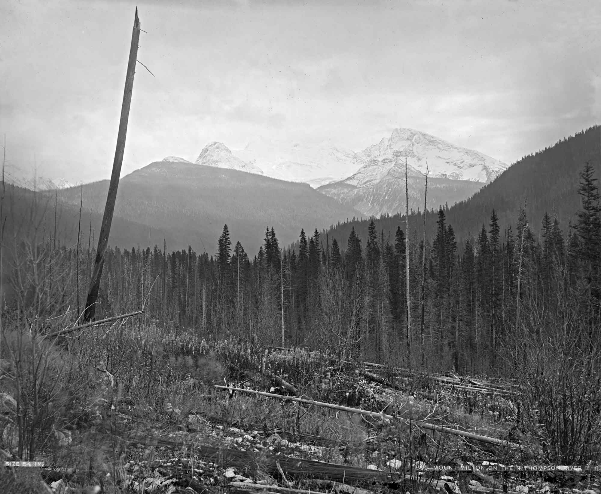
Frederick Arthur Pauline [1861-1955] was the new Agent-General for British Columbia at the time of this mountain’s naming in 1925. The mountain was formerly known as “Curly Mountain”, after Donald “Curly” Phillips [1884–1938], a local guide, but the present name was chosen to avoid duplication.
During the Alberta-British Columbia Boundary Commission surveys in 1923 a geodetic station “Curly” was established here. “Mount Pauline (not Curly Mtn)” identified in the 1930 BC Gazetteer.
References:
- Cautley, Richard William [1873–1953], and Wheeler, Arthur Oliver [1860–1945]. Report of the Commission appointed to delimit the boundary between the Provinces of Alberta and British Columbia. Part II. 1917 to 1921. From Kicking Horse Pass to Yellowhead Pass.. Ottawa: Office of the Surveyor General, 1924. Whyte Museum
- Cautley, Richard William [1873–1953], and Wheeler, Arthur Oliver [1860–1945]. Report of the Commission Appointed to Delimit the Boundary between the Provinces of Alberta and British Columbia. Parts IIIA & IIIB, 1918 to 1924. From Yellowhead Pass Northerly. Ottawa: Office of the Surveyor General, 1925. Whyte Museum
- Karamitsanis, Aphrodite [1961–]. Place names of Alberta. Volume 1: Mountains, Mountain Parks and Foothills. Calgary: University of Calgary Press, 1991
- British Columbia Geographical Names. Mount Pauline


