34 km NE of Jasper on Canadian National Railway
53.1383 N 117.9806 W — Map 083F04 — Google — GeoHack
Not currently an official name.
John Arrowsmith’s map British North America 1832
Milton and Cheadle’s map 1865
Milton and Cheadle’s map 1865 [as “Burnt L.”]
Trutch’s map of BC 1871
Hanington’s map Smoky River Pass 1875
Tolmie and Dawson map Indian Tribes of BC 1884
BC Lands Central BC 1892
Brownlee’s map Province of BC 1893
Frederick Talbot’s map GTP 1910
Schäffer map of visits in 1907 and 1908
Collie’s map Yellowhead Pass 1912
Cram’s map British Columbia 1913
Grand Trunk Pacific Railway ticket 1914
Grand Trunk Pacific Railway stations

Jasper House East Side Rocky Mountains
Paul Kane. Field sketch, November 7, 1847 Wikipedia
![‘Jasper House.’ Outlying trading huts of the Hudson Bay Company, near foot of the Leatherhead Pass, Rocky’s. Graves of Company’s Servants, murdered by Indian [1872]](/wp-content/uploads/2024/11/rylatt-jasper-house.jpg)
‘Jasper House.’ Outlying trading huts of the Hudson Bay Company, near foot of the Leatherhead Pass, Rocky’s. Graves of Company’s Servants, murdered by Indian [1872] [1]

Jasper House and Roche Miette, Sandford Fleming expedition. Photo: Charles Horetzky, 1872 [2]

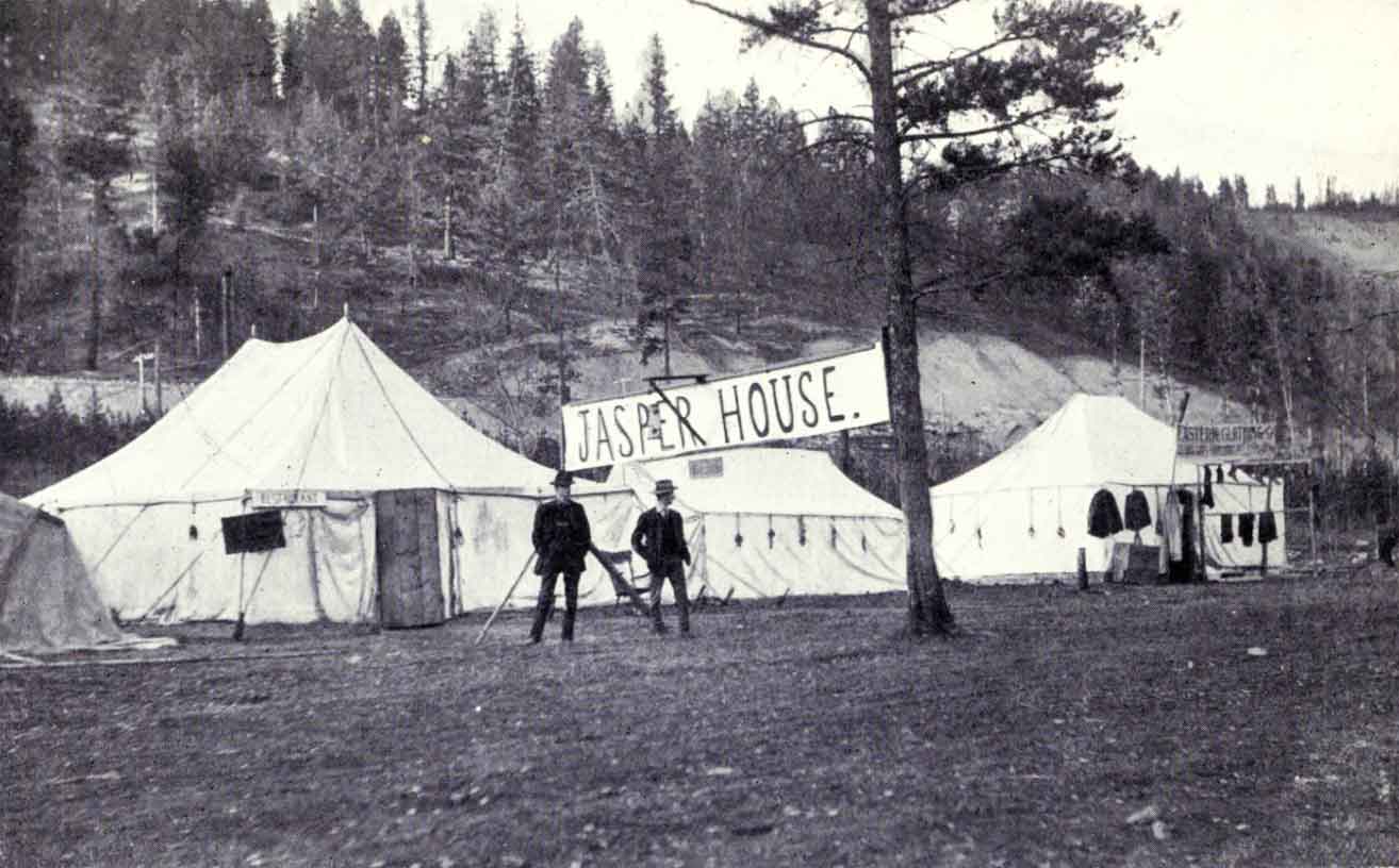
Jasper House. A “bush inn,” or stopping-place, where meals are served at two shillings per time. R. C. W. Lett photo, ca. 1911 Talbot, Making Good in Canada, p. 103 [accessed 15 February 2025][3]
The situation of Jaspers House is beautifully Wild and romantic, on the borders of the Athabasca River which here spreads itself out into a small Lake surrounded by Lofty Mountains. This is a temporary summer post for the convenience of the Columbians in crossing; the Winter Establishment of last Year on the borders of the Smoky River about 80 to 100 miles Northward, but it was this Season determined that it should be removed to Moose or Cranberry Lake situated more in the heart of the Mountain near the height of Land and where we suppose Frazers River takes its source; the object of this is to draw the Freemen further into the Mountain than they have been in the habit of gound, where they are expected to make good hunts as it has been rarely Wrought and thereby the lower parts of Smoky river and the Country they used to occupy towards Lesser Slave Lake will be allowed to recruit, we have it likewise in view to draw the Shewhoppes or natives of the North Branch of Thompsons river to the mountain from the Establishmnent of Kamloops or Thompsons River which they have hitherto frequented as that post on account of the heavy Establishment of people required for the purpose of defence yields little or no profit. [4]
- 1. Rylatt, Robert M. [fl. mid-1800s]. Surveying the Canadian Pacific: Memoir of a Railroad Pioneer. Salt Lake City: University of Utah Press, 1991
- 2. Kane, Paul [1810–1871]. Wanderings of an artist among the Indians of North America. From Canada to Vancouver’s Island and Oregon through the Hudson’s Bay Company’s territory and back again. London: Longman, Brown, 1859. Internet Archive
- 3. Talbot, Frederick Arthur Ambrose [1880–1924]. Making Good in Canada. London: Adam and Charles Black, 1912, p. 142. Internet Archive [accessed 15 February 2025]
- 4. Simpson, George [1792–1860], and Merk, Frederick [1887–1977], editor. Fur trade and empire. George Simpson’s journal entitled Remarks connected with fur trade in consequence of a voyage from York Factory to Fort George and back to York Factory 1824-25. Cambridge, Mass.: Harvard University Press, 1931, p. 30. University of British Columbia Library