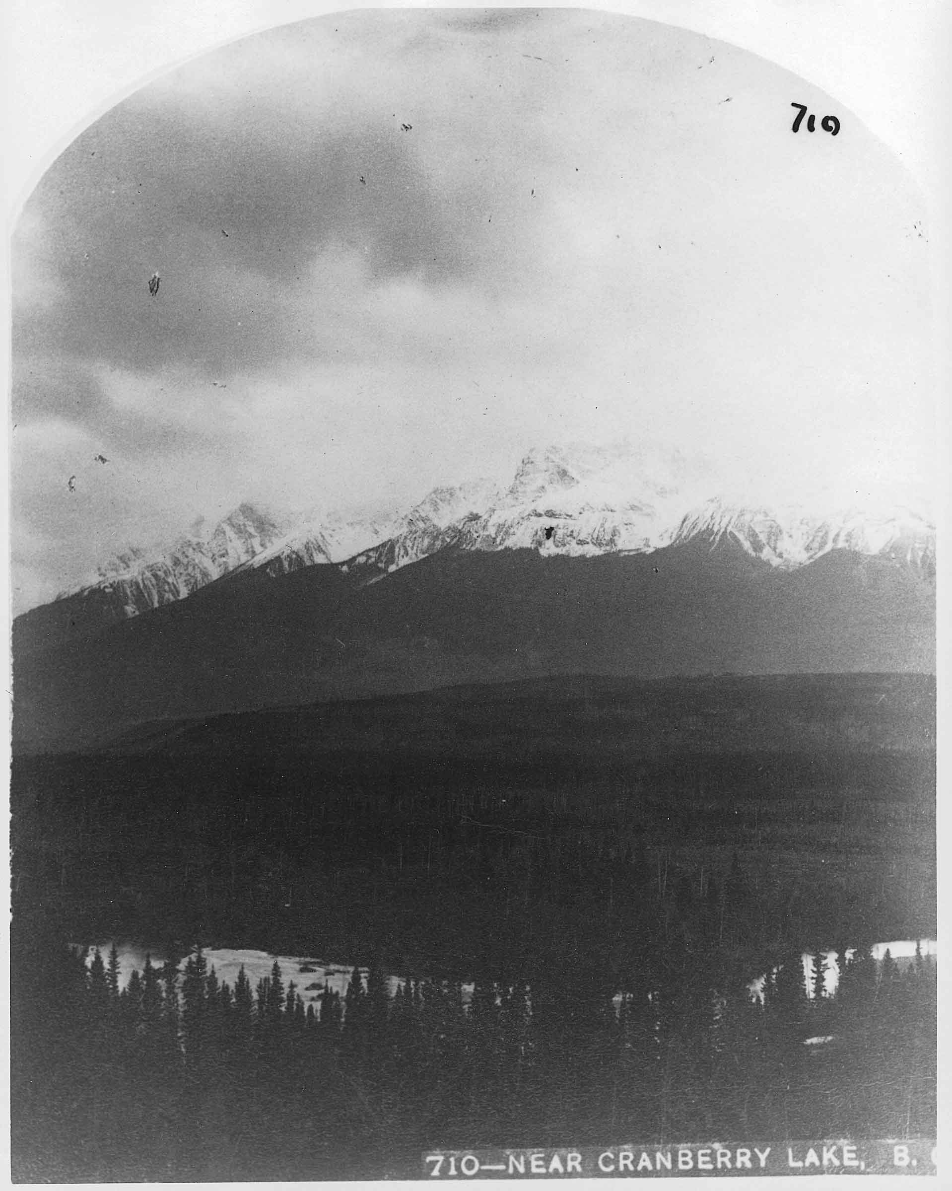
British Columbia. Mount
Malton Range, W of Canoe River
52.6833 N 119.1333 W — Map 83D/11 — Google — GeoHack
Name officially adopted in 1961
Official in BC – Topo map from Canadian Geographical Names
Malton Range, W of Canoe River
52.6833 N 119.1333 W — Map 83D/11 — Google — GeoHack
Name officially adopted in 1961
Official in BC – Topo map from Canadian Geographical Names

Mt. Thompson on the Canoe River near Cranberry Lake. Benjamin F. Baltzly, 1871
McCord Stewart Museum
Because of the relative proximity of Canoe Mountain and Mount Thompson at the head of the Canoe River, this name likely refers to explorer David Thompson [1770–1857], who overwintered at the mouth of the Canoe at Boat Encampment in 1811, before beginning his journey down the Columbia River to the Pacific Ocean.
In the reports of Ray Zillmer [1887–1960] on the exploration of the source of the North Thompson River, the “Thompson” mentioned is Sir John Thompson, Canada’s fifth Prime Minister (the name “Mount Sir John Thompson”, about 40 km northwest of here, was adopted in September 1927).
References:
- Zillmer, Raymond T. [1887–1960]. “The exploration of the source of the Thompson River in British Columbia.” American Alpine Journal, Vol. 4, No. 1 (1940):69–81. American Alpine Club
- British Columbia Geographical Names. Thompson, Mount