Alberta. Rock
N of Snaring
53.1342 N 118.1164 W — Map 083E01 — Google — GeoHack
Name officially adopted in 1956
Topo map from Canadian Geographical Names
N of Snaring
53.1342 N 118.1164 W — Map 083E01 — Google — GeoHack
Name officially adopted in 1956
Topo map from Canadian Geographical Names
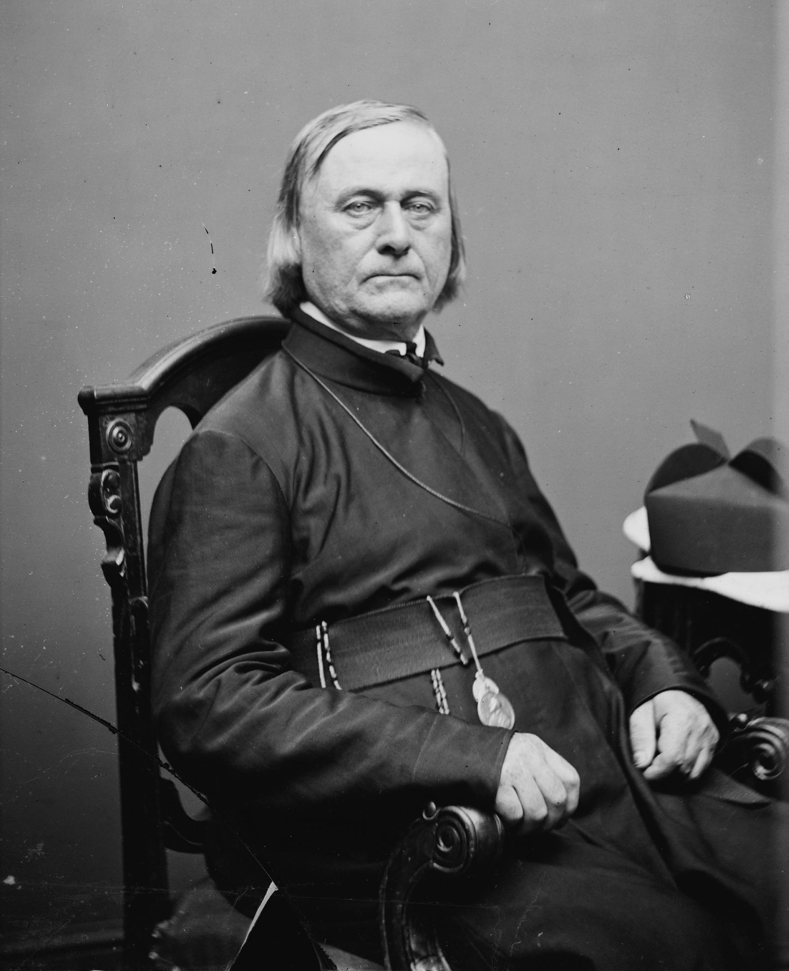
The Reverend Pierre-Jean De Smet. c. 1860-65, by Mathew Brady Wikipedia
Shown on Palliser Map 1863 as Roche Suette.
The De Smet Range is a mountain range of the Canadian Rockies located northwest of Highway 16 and Jasper Lake in Jasper National Park. The range is named after its highest point Roche de Smet, which in turn was named by Iroquois working in the fur trade industry. The Iroquois named the peak after Pierre-Jean De Smet [1801–1873], a Belgian missionary who had worked with the indigenous peoples in the 1840s in Rupert’s Land, the North-Western Territory, the Oregon Country and the United States.
References:
- Wikipedia. Roche De Smet