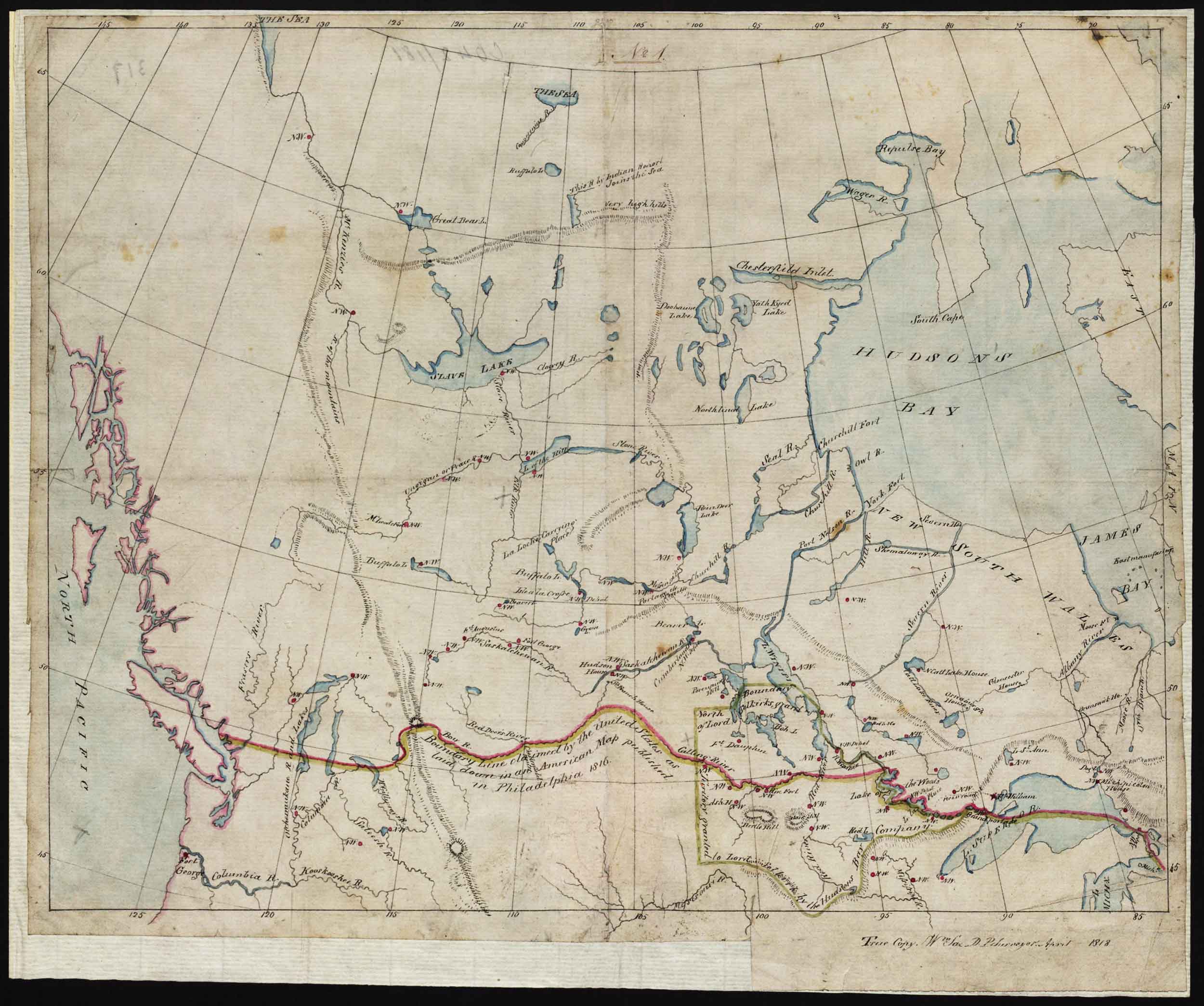
Map of Indian Territories to accompany the report of the Coltman mission. William Sax, 1818. The red horizontal line is “Boundary line claimed by the United States as laid down in an American map published in Philadelphia 1816.” Library and Archives Canada [accessed 19 February 2025]
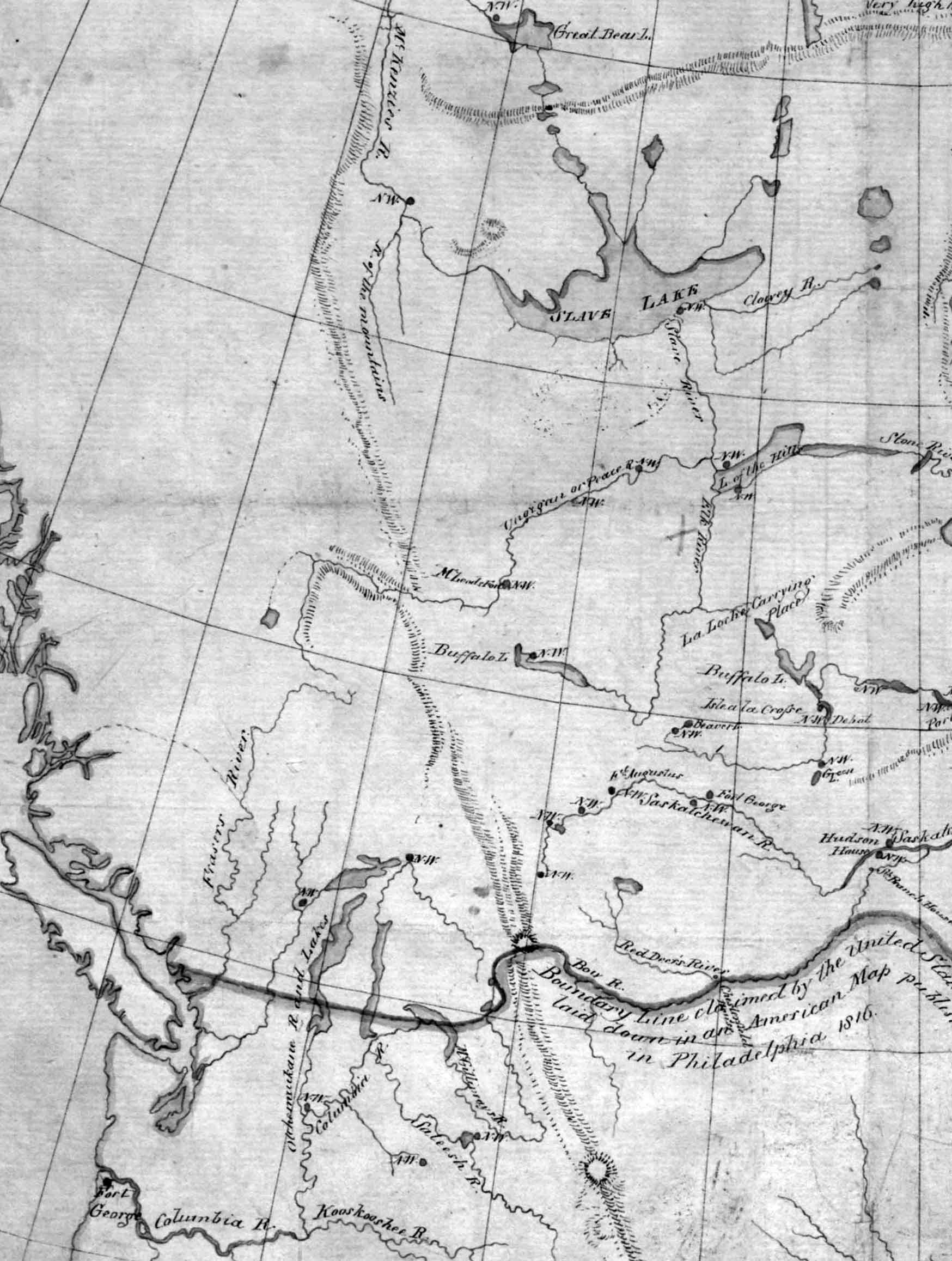
North America. The continent west of the Great Lakes north of about 45°N. Detail Library and Archives Canada [accessed 19 February 2025]
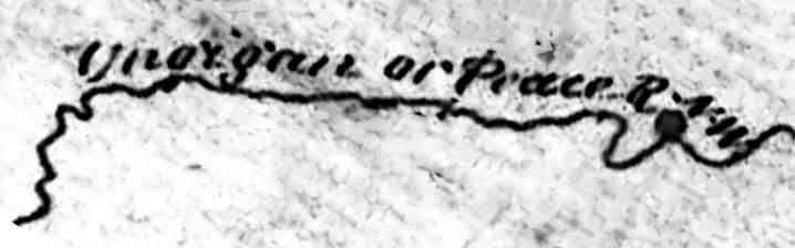
Detail of Peace River Library and Archives Canada [accessed 19 February 2025]
William Sax [1774–1840], First Clerk in the Surveyor General’s Office of Canada, was active ca. 1795 – 1835. He drafted this map to accompany the 1818 report of William Bacheler Coltman, commission of the peace for the Indian territory of the northwest, regarding the struggle between the Hudson’s Bay Company and the North West Company for hegemony in the fur trade.
- Dictionary of Canadian Biography. William Bacheler Coltman. 2003 Dictionary of Canadian Biography, Vol 6 [accessed 19 February 2025] [accessed 2/19/2025] . [accessed 19 February 2025]